ADS2: Demonic Shores – Imaginaries of Indeterminacy in the Age of Logistics

Claire Greenland

Claire is a Master of Architecture Student at the Royal College of Art. She previously studied her undergraduate at Manchester School of Architecture and has worked for both the London and Sydney Grimshaw Studios.

Claire’s work within architectural practice has recently focused on challenging materials used within the profession and the construction industry, looking at ways of incorporating more environmentally and sustainably sourced materials into the design of our buildings.

Over the past two years, Claire’s Research Practice has explored connections between various manifestations of containment, control and extraction of both bodies and land. 

At the RCA, Claire studied in ADS3: Metabolising the Built Environment, where she researched into the increasing indulgence of plastics and their relationships to the female body. This fed into her dissertation which addressed themes around the enclosure of land and the female body for multiple forms of production. This year Claire continued her research practices within ADS2 : Demonic Shores, focusing on forms of extraction, material containment and settler-colonial representations of landscapes. Aspects around positionality and responsibility towards different forms of research and space are an ongoing development from her work this year.

In 2020, Claire collaborated with Serpentine Galleries in Metabolic Selves, a digital platform and live panel event as part of the ongoing Back to Earth programme. This year Claire was part of the Istanbul Biennial 2021, where herself and other designers at the RCA exhibited a film screening exploring alternative forms of glossaries.

Claire Greenland

Green Red Rock

Firstly, It is important to acknowledge the traditional custodians of the land on which this project is situated. I acknowledge the Puutu Kunti Kurrama and Pinikura people of the Puutu Kunti Kurrama country, Pinikura country, and shared country and I pay my respect to their elders past, present and emerging. It is also important for me to recognise my position within this project as a white person of both British and Australian nationality. Born on Cammeraygal land in North Sydney, I have spent time both as a child and adult within the UK and Australia. It is important to highlight that when I use the word Australia within the project, I am referring to unseeded Aboriginal Land.

My work both within the project and outside of it incorporates an ongoing learning and relearning of my position and responsibilities to these spaces.

Through the research into various manifestations of containment, control and extraction of both bodies and land within Western Australia, Green Red Rock reveals the harshness of how the landscape has, and is, being treated through multiple forms of extraction and representation. Attempting to dismantle the ways in which we see the landscape, the project also questions the responsibility and position of people who are involved in these and other indeterminate spaces.

Centring around the iron ore mining practices within the Pilbara, WA. Green Red Rock explores the multiple forms of extraction and representation of the landscape through the use of a variety of mixed media. The project aims to disrupt the was of 'seeing' and questions collective and individual positionality and responsibility. The project embodies a process of learning and relearning. A site/non-site concept is used throughout the project.

Green Red Rock Project Film

Green Red Rock looks at to what extent do geologic representations of Western Australia reproduce colonial legacies through multiple forms of extraction. Green red rock as an archival platform starts to actively scrutinise how we are collectively applying themes, ideas and visual tropes of cartographic traditions to the representation of current inland Australia. Green Red Rock is an archival platform that embodies the logics of cartography to disrupt our notion, our understanding, of how the landscape has been imagined. Through incorporating a critical narrative that runs against the settler colonial view. The platform incorporates a process of learning, unlearning and relearning with the outcome embodying this entire process. 

Intervening into our ways of seeing through 4 different levels; various forms of cartography, scanned aerial imagery and legislative and access perspectives, the archival platform actively scrutinises and disrupts the representation of the landscape.

Medium:

Film

Size:

1920 x 1080
Storage of Value
Storage of Value
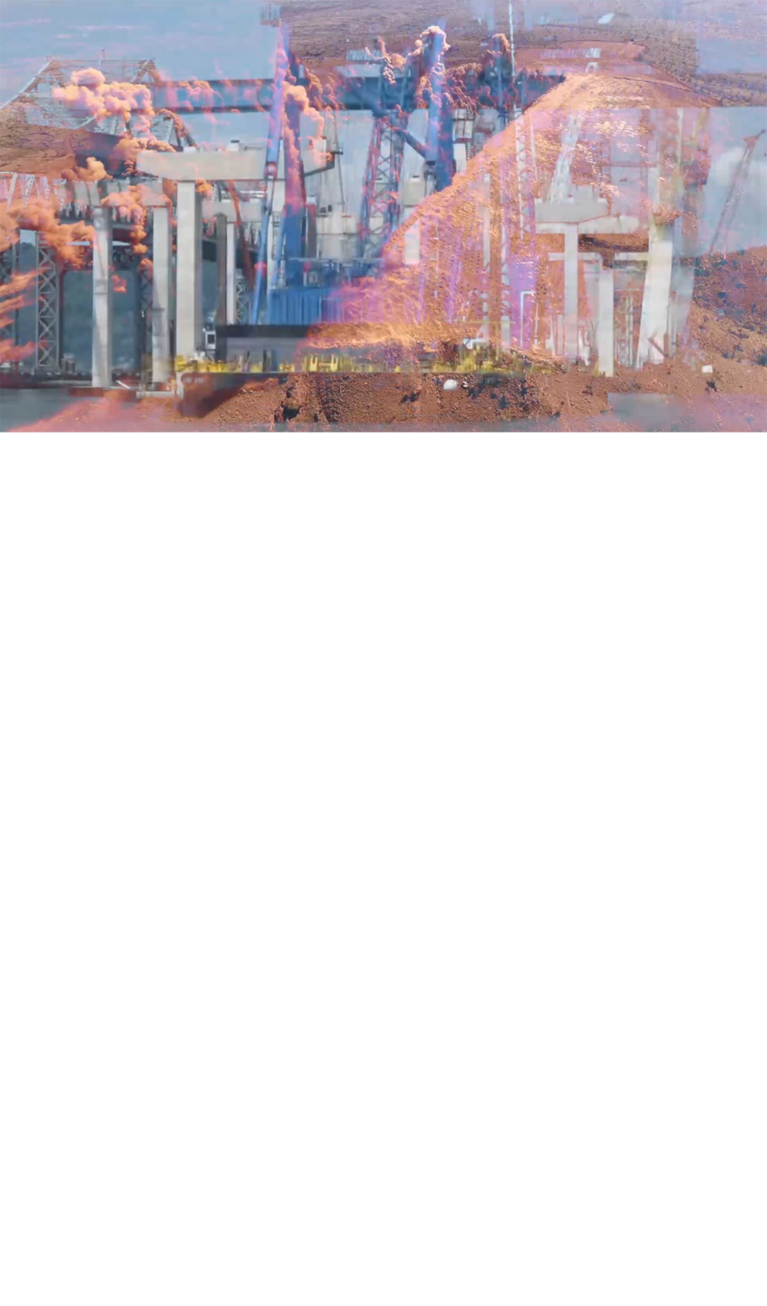
As the Buildings Go Up, the Mines Go Down.
Indeterminate Landscape and it's Multiple Stakeholders
Storage of Heritage
Storage of Heritage
Storage of Information
Site/ Non-Site
Site/ Non-Site

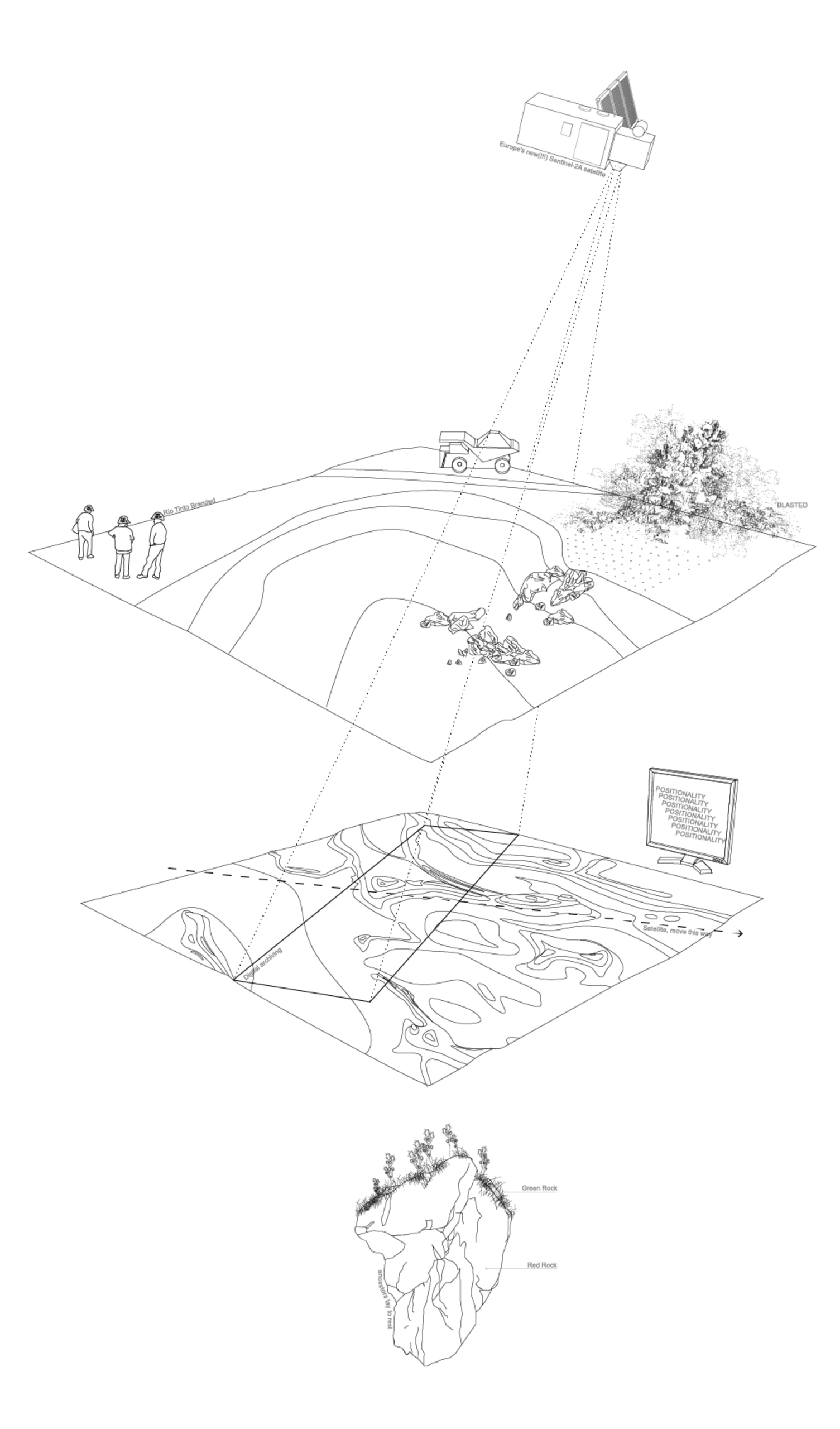
Through incorporating multiple scales, spaces, times and viewpoints, the layering representation aims to disrupt the totalising system imposed on the land and draw connections to the multiple stakeholders.

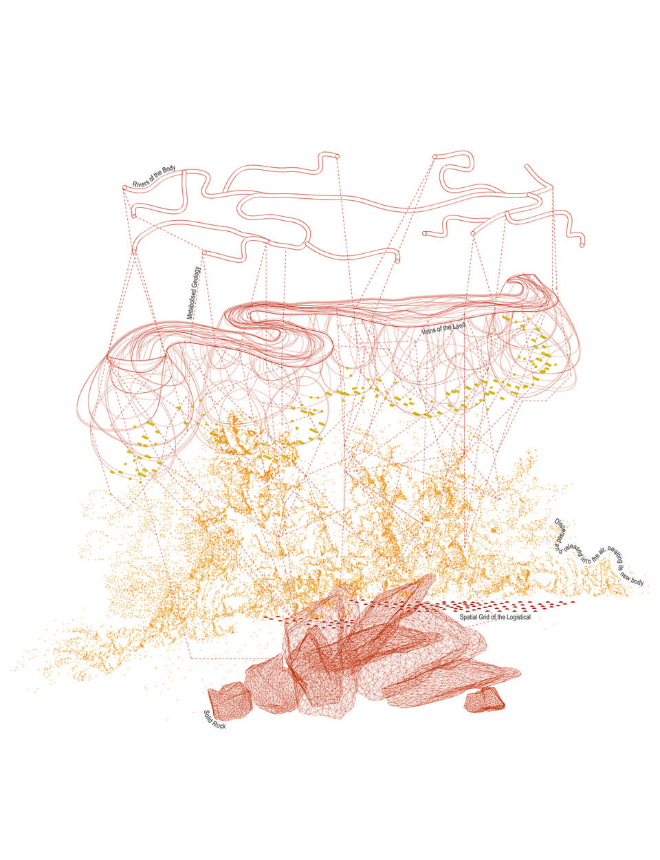
The storage of value within the rock explores questions around the extraction of matter, the organisation of mining corporations, government bodies and 1st nation people within the landscape. Regardless of the removal of terra nullius and the granting of native title, strategic and organised corporations continue to re-penetrate this land due to the weak land rights. The railway line, a conjunctural infrastructure fulfils its primary role of transporting stolen land out and flowing mining corporations in.

The storage of heritage within the rock explores forms of mapping and how the mapping of heritage is the precursor to the digital mapping of natural resources. As Mining practices continue to expand in the Pilbara region of WA, more sacred sites continue to be treated by extractive destruction. Inorder to expand their sites, mining corporations are offering to capture and preserve the sites using drone footage. How is digital scanning a paradox as a preservation of the landscape?

The storage of information within the rock explores the connection of digital claiming to its physical, questioning research practices and positionality. How is the landscape's digital formation a representation which is rooted within the colonial gaze? Exploring the forms of representation of the landscape through historical and contemporary cartography. It questions to what extent do geologic cartographies of western Australia reproduce colonial legacies of traditional forms of western mapping? 


Medium:

Drawing and Image Merge

Size:

Variety
Film Still (00:00:37)
Film Still (00:02:54)
Film Still (00:03:48)
Film Still (00:03:54)
Film Still (00:05:05)
Film Still (00:05:56)
Film Still (00:07:05)
Film Still (00:08:04)
Film Still (00:08:40)
Film Still (00:09:06)

Green Red Rock is an archival platform which actively scrutinises and disrupts the representation of the landscape. It intervenes in our ways of seeing through 4 different levels; various forms of cartography, scanned aerial imagery and legislative and access perspectives. The archival platform starts to actively scrutinise how we collectively apply themes, ideas and visual tropes of cartographic traditions to the representation of current inland Australia.


Cartography, Scanning, Legislation, Access

Medium:

Film Stills
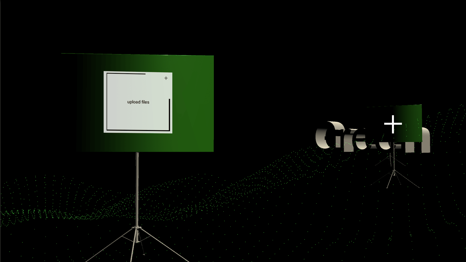
Digital Platform 1
Digital Platform 1
Digital Platform 2
Digital Platform 2
Digital Platform 3
Digital Platform 3
Physical Platforms
Physical Platforms

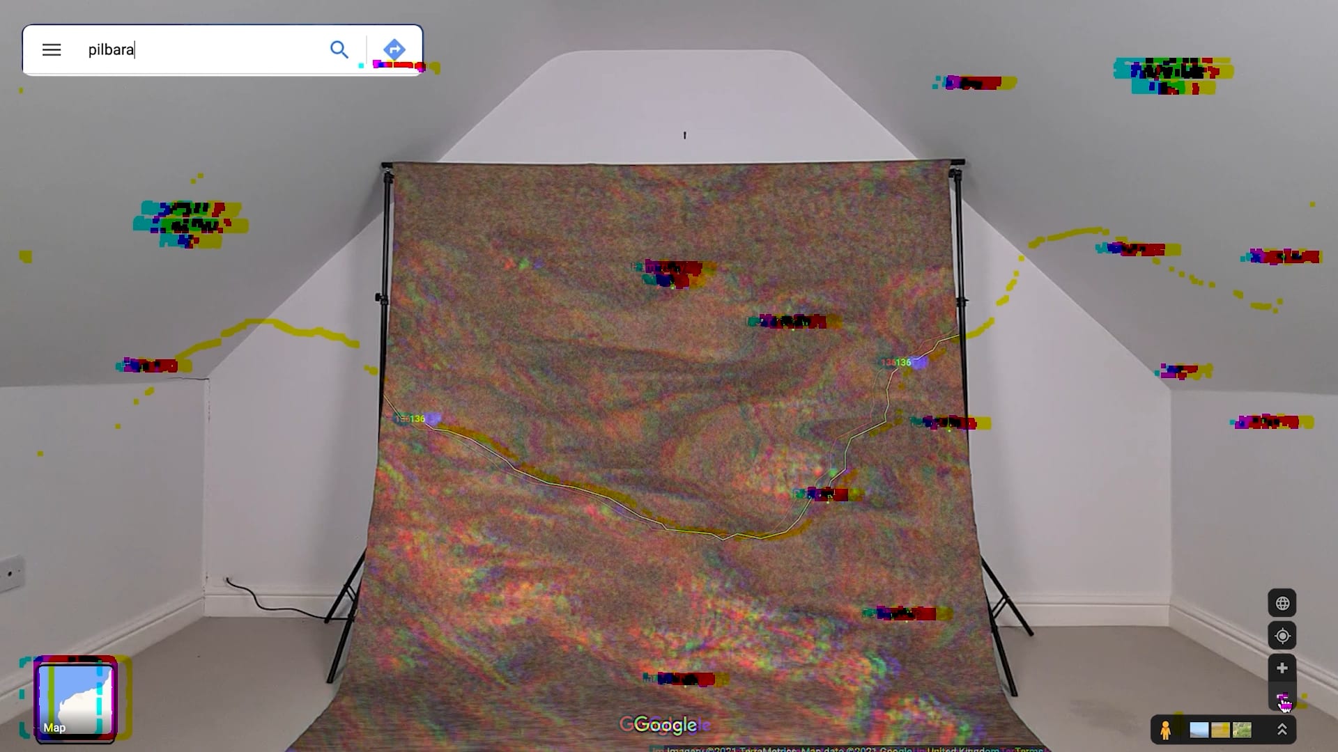
The archive serves as a repository of colonial forms of representation that can be accessed by anyone. The web-based digital landscape is a multi-user open-world platform which allows a user or group of users to interact with information in a landscape having the capability to freely roam. The interface is a ‘worlding’ experience; its intention is to dismantle and disrupt the single perspective notion of totality imposed on the site by settlers. Digital conversation is encouraged through the use of the platform’s interface comments bar. 

The platform is scalable. Additional archival layers, material, alternative landscape representations and forms of disruption can be applied to the platform. A number of blank structural stands have been included to facilitate this; new material can be uploaded through the ‘plus’ button on the digital interface. 

The structural stands of the digital platform act as transferable objects, facilitating future movement of the archive from the digital realm to the physical. The physical stands can adapt to different spaces. In the physical setting, a more collaborative and open conversation is facilitated and the sites in which the archive is placed can be project specific and targeted. For example the physical structure could be placed in the foyer of an institution, within the halls of government building, next to desks within an architectural practice, or in the exhibition room of a gallery space. The archive targets ‘settler’ constructs and its representations of the landscape and therefore, by placing the physical archive in specific locations, conversations can be generated which critique and challenge the notion of how the landscape has, and is, being represented.

Medium:

Visuals

Size:

1920 x 1080

Medium:

Book